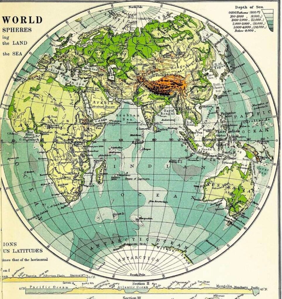
The absence of geography courses in American elementary and secondary school curriculums these days is a concern.
Yes, it is important for young people to know where places are in the world. To know what and where the continents, oceans, seas, and state and country capitals are is important. We probably all at some point in our childhood education learned and had to memorize all of the capitals of the states in the United States. The capital of Virginia? Richmond! Texas? Austin! Georgia? Atlanta! North Dakota? ……. Um. Missouri? Uh. Yet even today if you had to take a geography trivia quiz you very well might recognize Bismarck and Jefferson City as the capitals of North Dakota and Missouri, respectively.
You also would probably know where the continents are and many of the countries within them and the major oceans and seas in the world.
And that’s great!
However, there is more to geography than how it is trivialized when we learned it.
World history textbooks, particularly those pertaining to ancient and medieval history, will often start the chapters on civilizations with a section on geography, even though the topography of those places hasn’t necessarily changed at all in hundreds if not thousands of years. The fact is that the geography of a given area, whether land and/or sea, is usually extremely significant in how a civilization is formed and grows. When one is initially more familiar with a place’s geographical features before learning the political, social, military, and religious aspects of its history, then the learned knowledge is more enriching. It makes more sense.
The most obvious example of this is major cities in the world that have grown around and on the banks of big rivers. Waters and the boats that sail upon them brought trade and transportation to small villages and helped them grow in quantum leaps. Of course, water is life. It was helpful to be near bodies of water for agricultural purposes and to grow food from which people could eat and thrive. Lastly, there was food to be caught in rivers and oceans.
Ever wonder why the concept of city-states evolved in ancient Greece? There was no main empire or kingdom of Greece. The mainland of Greece was and is mountainous and has no large, long rivers. Long rivers enable trade, transportation, and ideas to unify people, as well as allow them to communicate more easily and form like-cultures, languages, and governments. But since Greece’s topography lacked long rivers and was full of significant hillsides and mountains, city/states such as Athens, Sparta, Corinth, Thebes and others popped up as places because of their separation from one another. Instead of Greece being one big militaristic country like Sparta or one big country based on philosophy, art, and democracy like Athens, smaller city/states formed, each with their own identity. Also, mainland Greece had rocky soil that was not conducive to growing main crops from which to feed its people. So much of the country’s food was from the surrounding sea, and as such fishing was a large, important industry and its naval forces were superior.
One noticeable and interesting thing about the area of Tuscany in Italy is how many of its cities such as Cortona were built in medieval times. Beautiful, large, old buildings literally built into and protruding from the sides of large mountains. Well-built, solid structures on rock-cliffs. Amazing. But why were these cities built this way? The view was surely stunning, but it turns out it was way more about function than aesthetics. The major valley below and around these mountains, Val d’Orcia, was in the twelfth and thirteenth centuries malaria-ridden and full of mosquitos, which prohibited people from settling there. So people were forced into and wanted to build houses high above to avoid the fatal diseases in the valley.
The continent of Africa is interestingly separated by different types of geography. North African countries bordering the Mediterranean Sea are populated and thriving due to their proximity to water. Moving southward into the center of the continent, that quickly changes into the hot, arid, sandy, and desolate Sahara Desert. Simply put: no water, no life. Very little evidence of plants and animals. And very few if any human inhabitants. Farther south one enters into the area of the Sahel, also a very rugged geographical area but one with substantially more water and plant growth. Finally, “Sub-Saharan” Africa becomes at once more populated with agriculture, large, long rivers, and rainforests. Villages and cities abound.
If you think about it, you could come up with and realize many more instances of not just where a place is, but why it is where it is.
The hope here is that young students today will learn to do the same.